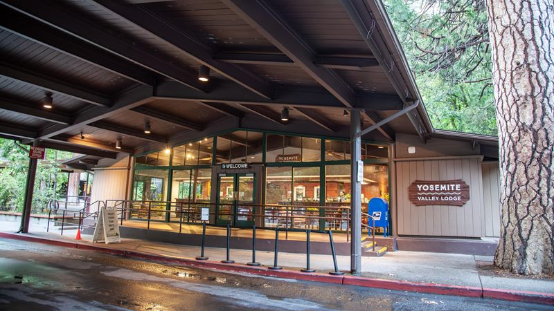
Yosemite Valley Lodge
About 22 min to trailheadI haven't stayed here, but it's another in-park option I'd check. It's near Yosemite Falls and has traditional hotel rooms.
Check availability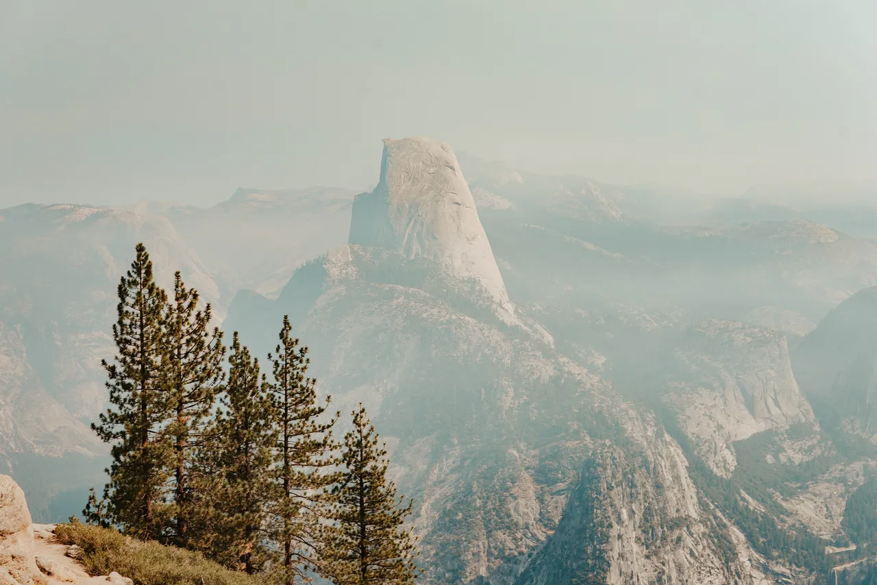
I've had my eyes set on hiking Half Dome since my first trip to Yosemite in the summer of 2021. Back then, I was looking at that huge granite rock from Sentinel Dome. I had no idea that five years later, I'd be sitting on top of it. If you'd told me I would hike Half Dome one day, I don't know if I would have believed you. I've come a long way in my hiking journey, pushing myself and the boundaries of what I thought I could do.
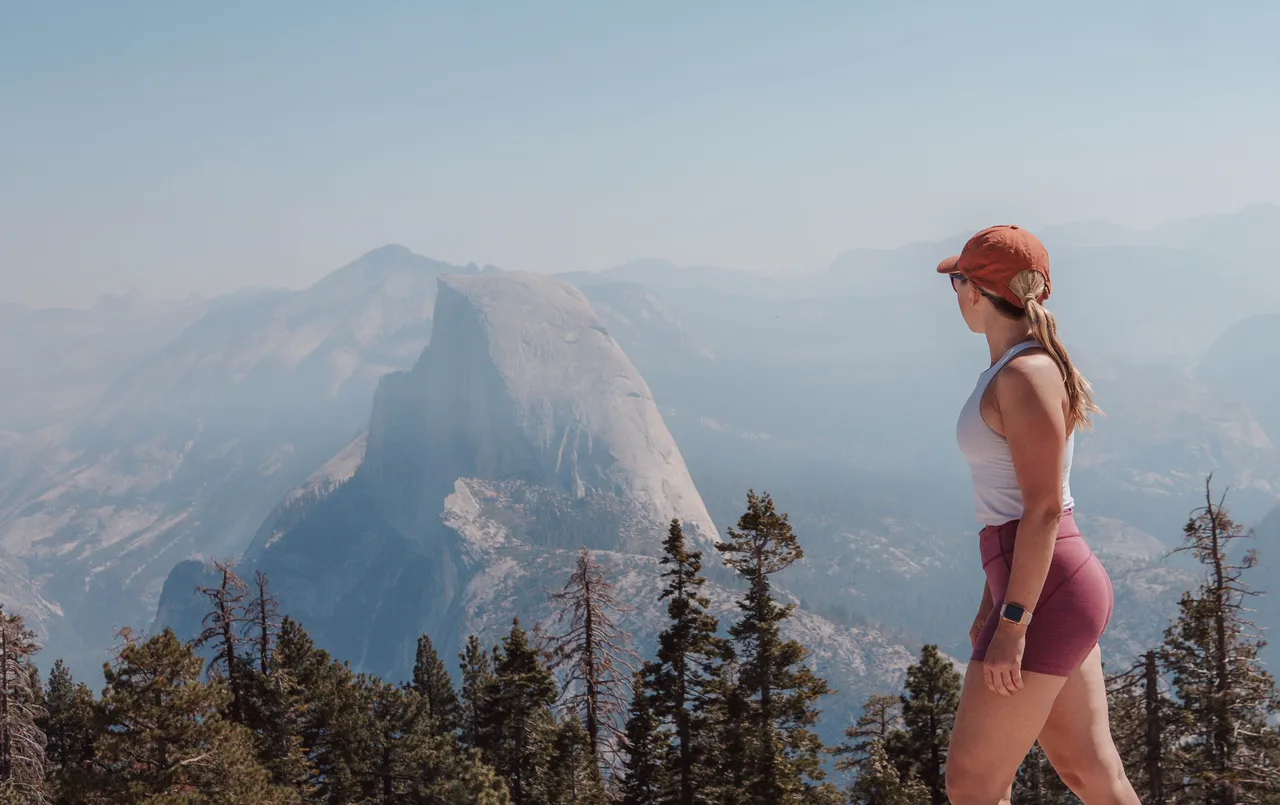
I hiked Half Dome with my partner on September 18, 2026, and honestly, the hike wasn't as hard as I expected compared with other big hikes I've done. The part that almost psyched me out was standing below the cables and looking up. From there, the rock looked so steep that I started getting a pit in my stomach. Actually getting on the cables ended up feeling much more manageable than staring at them from the bottom.
We had dry granite, no rain, and fewer people on the cables during our climb, but the wildfire smoke was bad. Smoke from the Dome Fire made the views hazier than they would have been on a clear day. Coming down was a different story because of the waiting and people trying to pass. Here's how the day went, plus the things that made a difference for us: where we stayed, an early breakfast and espresso, lots of water, layers, and very grippy gloves.
This post contains affiliate links. I may earn a commission if you make a purchase through these links at no extra cost to you.
Half Dome permit. You will need to secure a Half Dome permit to hike the cables when they're up. The preseason lottery is open from March 1 through March 31, so you have the whole month to choose your dates and apply. When I applied, I could enter three choices, each with its own date and group size. Check the current application details before planning your trip.
September would be my personal pick. I've gotten a Half Dome permit twice now, both for September! The first was for Labor Day weekend a few years ago, but I had a bachelorette party that weekend and had to give it up. This time, I finally got to go on September 18.
I've only ever had luck getting two spots, not four, so I'd use those three choices strategically: maybe a weekday for four people, a weekend for two, and another weekday for two. You can put different group sizes with different dates on the same application. If your whole group wants to hike together, though, remember that a two-person permit would only cover two of you. NPS's permit lottery statistics can help you choose; my two September wins don't prove that month has better odds.
I would still aim for later in the permit season for a better shot at dry granite. I would take hazy views over rain on the cables, but wildfire smoke can make a strenuous hike unsafe too, and September doesn't guarantee dry weather. NPS says nearly all fatal falls from the cables happened when the rock was wet and warns against ascending if the rock is wet or storm clouds are nearby. Check both the weather and air quality close to your hike and be willing to turn around.
National park pass. If you already have the America the Beautiful annual national park pass, pack it! It's especially handy if you're spending the next few days exploring Yosemite too. On a very early arrival, the entrance booth may not be staffed. The annual pass is one way to cover admission; you can also pay for a standard Yosemite entrance pass. Your Half Dome permit is separate from park admission—see Yosemite's entrance fees and passes.
Surprisingly, no one checked our Half Dome permit on the way up or down. We still brought it with us, and you do need one for the cables even if no ranger happens to check.
Weather and wildfire smoke. I started watching the weather about two to three weeks before the trip while deciding whether to go ahead with flights and hotels. The forecast looked dry, and we did get dry granite for the cables. Visibility was another story: the smoke from the Dome Fire was bad, so we didn't get the completely clear views I'd hoped for.
I still prefer an early start for the long uphill sections, especially before the afternoon heat. But don't assume the morning air will be cleaner: smoke shifts with wind and weather, and clear-looking views aren't an air-quality measurement. Check the AirNow Fire and Smoke Map and local advisories before setting out. AirNow recommends limiting outdoor exercise or lowering its intensity when it's smoky, so be willing to change your plans rather than push through the steep sections in poor air.
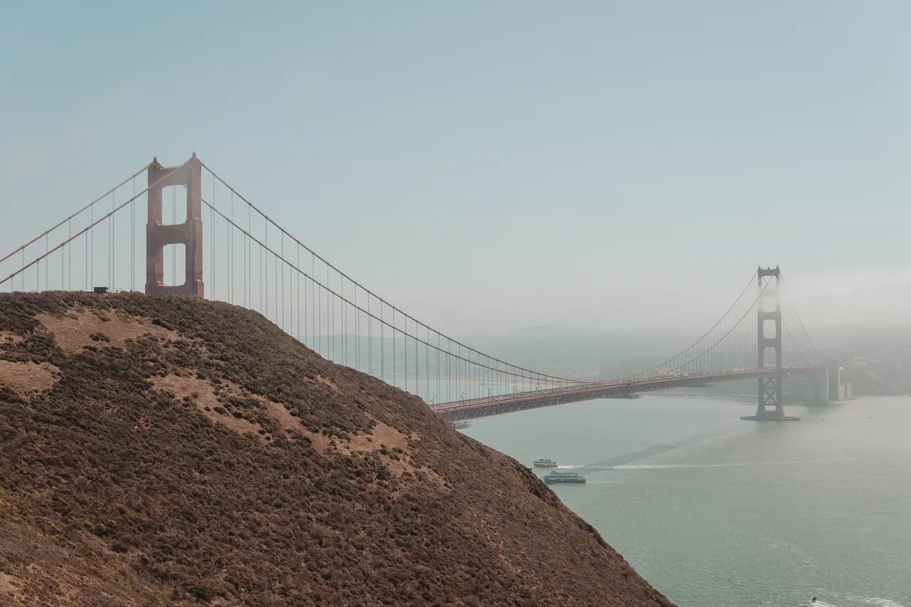
Fresno is a convenient airport for Yosemite, and San Francisco is another option if you're willing to make a longer drive. You may find more flight choices or a better fare through San Francisco, depending on where you're coming from, but I'd leave extra time in case of flight or traffic delays. For this trip, we flew into Fresno and flew home from San Francisco. On my past Yosemite trips, I've flown in and out of San Francisco.
We didn't spend much time in Fresno beyond getting ready for the trip. There's an REI and Walmart if you need last-minute supplies; we stopped to pick up fuel before heading toward Yosemite.
We rented an all-wheel-drive SUV through Costco Travel. AWD wasn't necessary for our trip—the roads we drove in Yosemite were paved—but the SUV worked well for us. If you have a Costco membership, it's worth comparing their rental car rates with other options; they can be a little more affordable.
One caution if you spend a night in San Francisco before the drive: on my first Yosemite trip in 2021, our car windows were smashed while we were there, and my friend's clothes were stolen. We had to drive to Yosemite without a window, which was so loud and annoying. After that experience, I'd be especially careful about leaving anything in a parked car, even for one night.
We stayed in El Portal, and our drive to the trailhead was about 40 minutes. It was pitch black driving into the park. We parked in the trailhead parking lot for Happy Isles. The lot felt massive, and I remember only about 15 cars there that early, with people just arriving and getting ready with their headlamps!
We would've liked to start earlier than 5:30 AM, but we were tired and needed the sleep. We also had to make breakfast and espresso and actually get ourselves to the trailhead. That drive is worth factoring into your morning when you're deciding where to stay.
I'd recommend booking two nights for a Half Dome hike. That way you don't have to pack up your room before an early start, and you have somewhere to come back to afterward. We were so tired after the hike that all we wanted was to shower and crawl into bed. It was so nice to get back to the hotel and relax without having anything else planned.
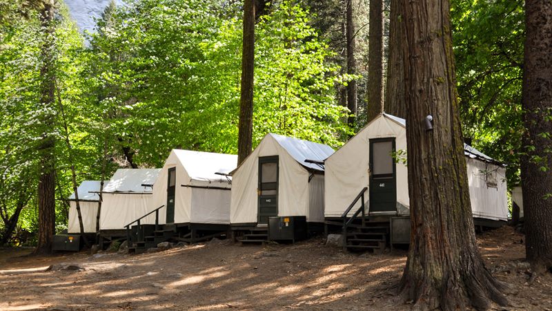
My pick for convenience
I've been to Yosemite a couple of times and have stayed at Curry Village before. If you can get a spot, I'd highly recommend it. Staying in the park makes that early trailhead start much easier.
Check availability I haven't stayed here, but it's another in-park option I'd check. It's near Yosemite Falls and has traditional hotel rooms.
Check availability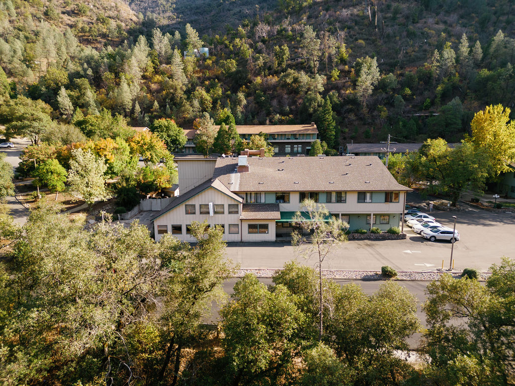
We booked late, about three weeks before the trip, and stayed here. It was fine for a place to sleep, but the internet was horrible. I wouldn't choose it if you need to work on your laptop.
Check availabilityDownload your driving directions and hiking maps before heading into the area, rather than relying on hotel internet when you arrive. I had very little cell service around El Portal or in the park, too.
Fun fact: I love listening to National Park After Dark whenever I visit a national park. I usually download an episode or two before I go, since there's so much driving and often so little service.
As we were leaving Yosemite, we listened to their Half Dome lightning strike episode, then put on A Serial Killer in Yosemite. That's when we learned that Cary Stayner, the killer in the 1999 case, had lived and worked at Cedar Lodge. We'd just stayed there! I immediately wondered whether we'd slept in the room where the murders happened. I have no idea, but hearing that story right after checking out was pretty freaky. If you like stories about the places you're visiting, I highly recommend downloading the podcast before your next park trip.
Half Dome felt more manageable than I expected, but my Garmin Epix Gen 2 recording still came out to 18 miles, 5,576 feet of climbing, and almost 11 hours out on the trail. That's the day to prepare for: getting up to the cables with energy left, then still having the long hike down ahead of you.
Looking back at my Garmin history from March 18 through September 17, my activity was a mix of running, hiking, and walks. Here's what I recorded over those six months, excluding Half Dome itself:
| Activity | Recorded outings | Total miles |
|---|---|---|
| Running | 63 | 186.1 |
| Hiking | 12 | 65.0 |
| Walking | 30 | 79.3 |
Source: my Garmin Connect activity export. These totals cover recorded activities, not every walk or workout I did. The hiking count includes three short outings the day before Half Dome, and Garmin's activity labels don't separate out my Discovery Park trail runs.
These are the nine longer hikes I recorded in the six months before Half Dome, with the Half Dome hike highlighted at the end so you can see what they were leading up to. Mailbox Peak and Mount Si were especially useful conditioning because they packed a lot of climbing into shorter distances. My July hike in Snohomish County added more time on my feet: 10.61 miles with 3,375 feet of gain. Between bigger hikes, I walked and did a few 2-to-5-mile trail runs at Discovery Park, which helped me stay consistent.
| Hike | Distance | Elevation gain |
|---|---|---|
| King County hike · April 9 | 5.84 mi | 384 ft |
| Mount Si · April 18 | 7.89 mi | 3,138 ft |
| Mailbox Peak · May 12 | 9.00 mi | 4,018 ft |
| King County hike · June 17 | 3.85 mi | 1,460 ft |
| King County hike · June 21 | 6.38 mi | 1,669 ft |
| Snohomish County hike · July 24 | 10.61 mi | 3,375 ft |
| King County hike · August 15 | 6.35 mi | 1,799 ft |
| Mount Si · September 1 | 7.68 mi | 3,098 ft |
| King County hike · September 6 | 4.36 mi | 1,175 ft |
| Half Dome · September 18 | 18.00 mi | 5,576 ft |
I feel like that climbing prepared me for the Mist Trail and Sub Dome, although those Half Dome sections actually felt easier than many hikes I do in Washington. I'm used to steeper stretches of loose dirt and gravel. On this hike, so much of the climbing was on built steps, which gave me more dependable footing and made me feel less likely to slip. Across my recorded hikes in those six months, Garmin logged about 20,700 feet of ascent. The repeated climbing mattered more to me than chasing a particular mileage target.
To prepare for a long day, build gradually toward hikes with sustained climbing and practice with your actual shoes, pack, and water. Include the descent: step-ups, controlled step-downs, squats, and balance work can help you get ready for the hike back down. For the cables, a little pulling and grip work can help too; I noticed my back and lats the next day after using my arms on the climb. Shorter hill walks, stairs, or incline treadmill sessions can fill the gaps between longer hikes, but none of that replaces careful foot placement on the cables.
The mental part surprised me more than the physical effort. Looking up at the cables was intimidating even though I felt capable of continuing. Watch Yosemite's Half Dome preparation video and cable guidance beforehand so the terrain and expectations are familiar. Being fit doesn't mean you have to continue if the conditions or exposure don't feel right.
Keep the week before Half Dome light. You want your legs to feel extra fresh, so I wouldn't do anything intense right before the hike. An easy hike the week before or a relaxed run five or six days out is plenty; in the last couple of days, I'd stick to easy walking or a gentle hike. Think of it as your recovery phase going into a long day, and prioritize sleep. Getting enough sleep that week is probably the biggest thing I'd focus on.
My readiness check: Can you finish a long, hilly hike with enough energy to descend steadily? Look at time on your feet and elevation gain alongside distance. My Garmin moving time was much shorter than our elapsed time, so pace alone wouldn't have shown how long our Half Dome day really was.
For more of my trail reviews, you can read about day hiking the Enchantments, hiking Sahale Arm, and hiking Mount St. Helens.
The biggest things for us were water, layers for a very cold start and a hot afternoon, headlamps, and gloves for the cables. If you need a headlamp, the Black Diamond Spot 400-R is in my hiking resources. Make sure yours is charged or has fresh batteries before you start in the dark.
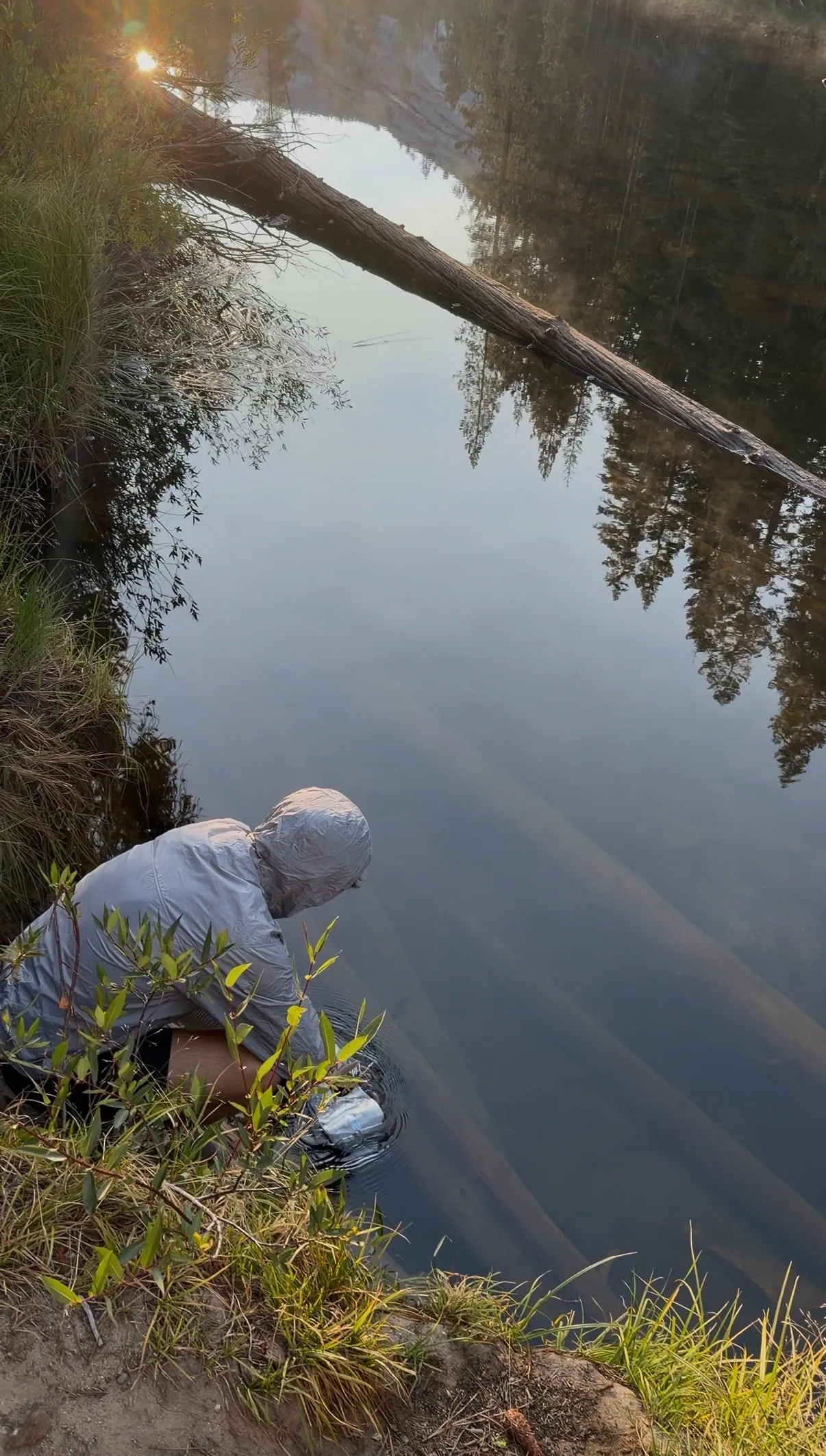
Water and refills. My partner went through about 6 liters of water, and I think I used around 4. We refilled at the Merced River on the way up and again on the way down. Those are our approximate totals for the day, not a promise that the same amount will be enough for everyone.
I would absolutely bring a water filter if you're planning to refill like we did. We used the Platypus QuickDraw 1L. For our September hike, those Merced River stops were an important part of our water plan. Check current water availability before you go, especially later in the season, and don't count on finding water higher up. NPS lists Merced River water up to Little Yosemite Valley, so carry enough from there for the climb and the return to your refill point.
Check that your filter is rated to remove Giardia before the trip. Clear-looking river water can still contain germs that make you sick. Read the manufacturer's tested removal claims and instructions, check the filter's condition, and practice using it before you leave.
Platypus says the QuickDraw removes bacteria and protozoa, but not viruses. CDC's backcountry water guidance recommends boiling, or filtering followed by disinfection when boiling isn't possible. Choose a treatment setup that covers those risks and follow its instructions, including any required contact time.
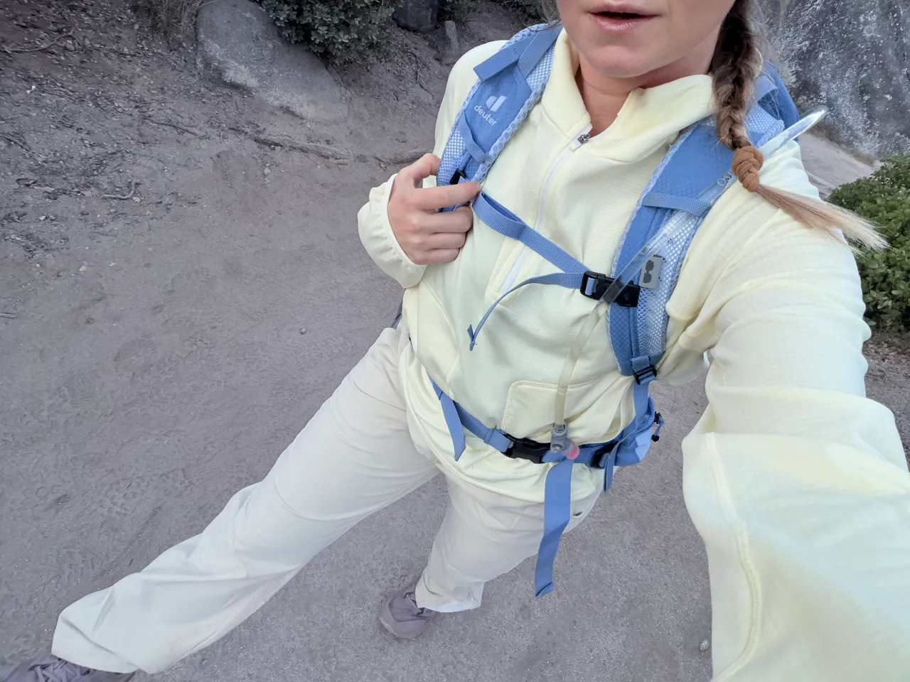
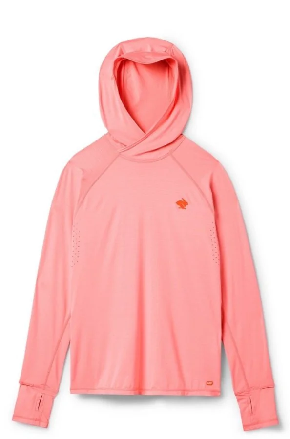
Layers. It felt freezing when we started in the dark, then got really hot as the day went on. I would plan for both: warm layers for the early climb and a sun hoodie for the heat and sun exposure later. There were plenty of exposed stretches, including on the Mist Trail coming down.
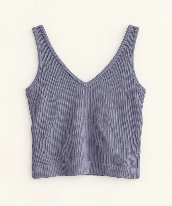
Backpack. I used my Deuter Futura 25 SL pack. I only got it this year, but I've hiked with it all summer and haven't had the back pain I sometimes get with my smaller CamelBak ski pack. I can fasten the hip belt and chest strap so the weight feels better distributed, and the ventilated back keeps me from getting as sweaty. I haven't had any arm chafing either, even when I took off my layer and hiked the steep part of the Mist Trail in a tank top. It has room for my Peak Design tripod, camera gear, water, snacks, and layers; I've also fit a backpacking stove and meals in it on other outings. So far, I really love this bag and would recommend it.
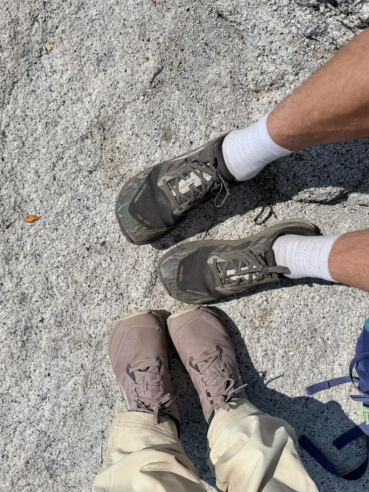
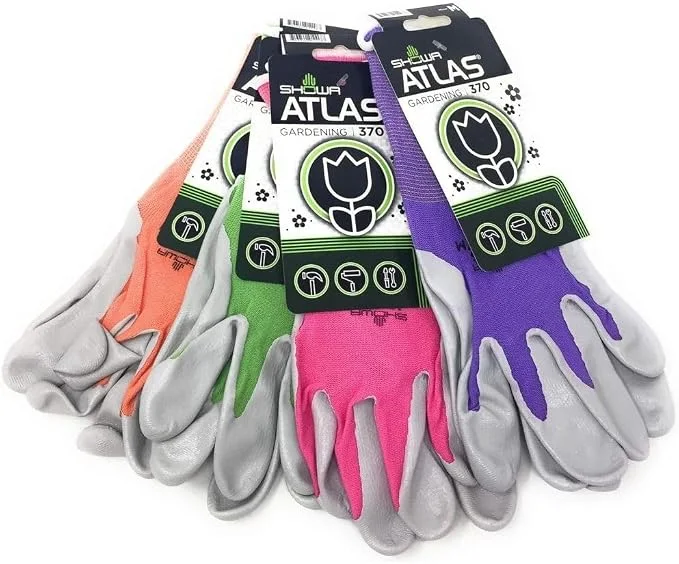
Gloves and shoes. We used gardening gloves that we'd picked up at a fishing-supply store, and they were super grippy. I was really glad to have them. They made holding the cables feel more secure to me, especially coming down. Showa Atlas 370 gloves are a similar gardening-glove option. The granite was completely dry that day and felt grippy underfoot too. My partner and I both wore Altra Lone Peak trail runners.
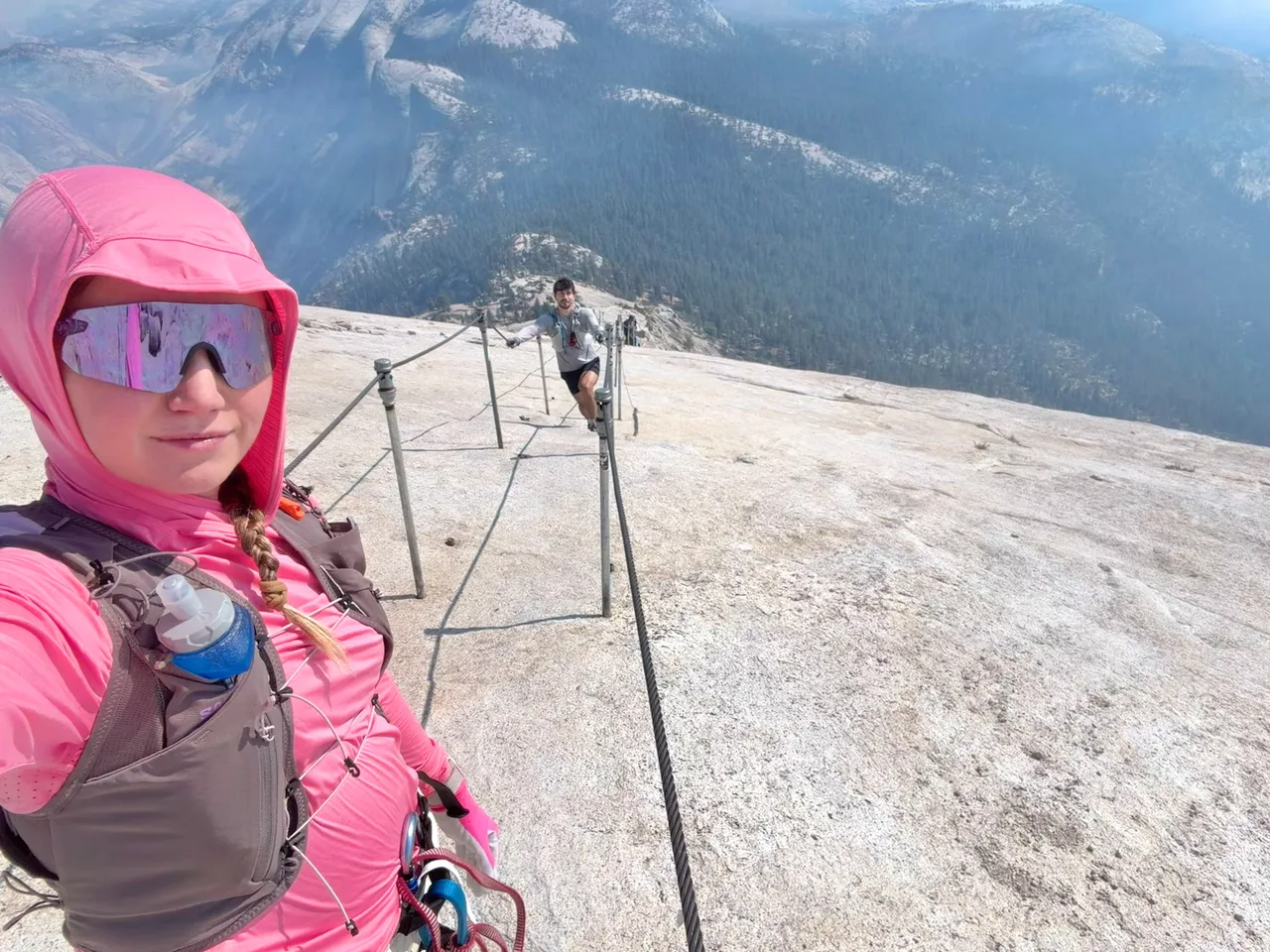
Harness. If you have anxiety about the cables, I'd bring a harness and not overthink it! I chose to clip in because it helped me feel less anxious on the rock, while my partner didn't clip in and felt comfortable. From what I remember, it seemed like roughly half the people around us were clipped in and half weren't, but that was just my impression of the group we saw. I honestly barely remember the cables themselves because I was so focused on clipping in. Maybe I didn't take in the full experience as much as I could have, but I felt secure and at ease on both the ascent and descent. It also meant I didn't feel like my anxiety was a burden on my partner or anyone else up there.
I saw a woman turn around pretty early on the cables after she started to panic. She didn't have a harness, and her partner had to help her back down while the cables were busy. It became a stressful moment for her and for the people around them. Seeing that made me think a harness might have helped her feel a little safer, which reinforced why I was glad I'd brought mine.
Fuel. I had an energy gel on the Mist Trail, another before Sub Dome, and one more before the Half Dome cables. The gels I packed included Maurten Gel 100 and GU Roctane Sports Gel. I wanted to keep my energy up for the final climb rather than get there feeling completely depleted. We also brought several bags of candy for quick sugar throughout the day.
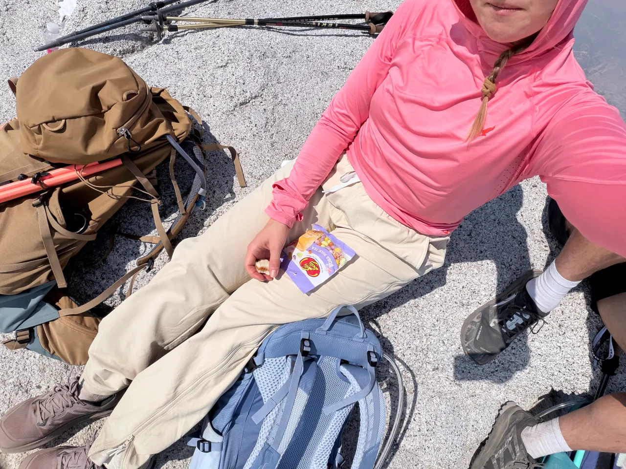
Hiking outfit. I planned out my hiking outfit with StyleMeMama. I built StyleMeMama, and I'm sharing outfit ideas from the app here alongside my hiking gear. You can also read about my color analysis and Soft Summer palette. Download StyleMeMama on iOS.

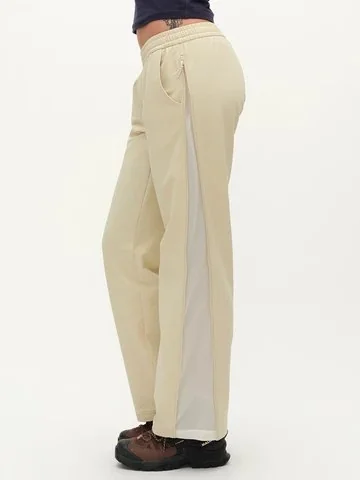
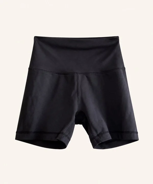
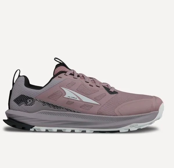
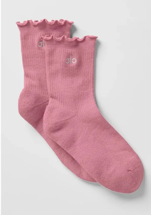
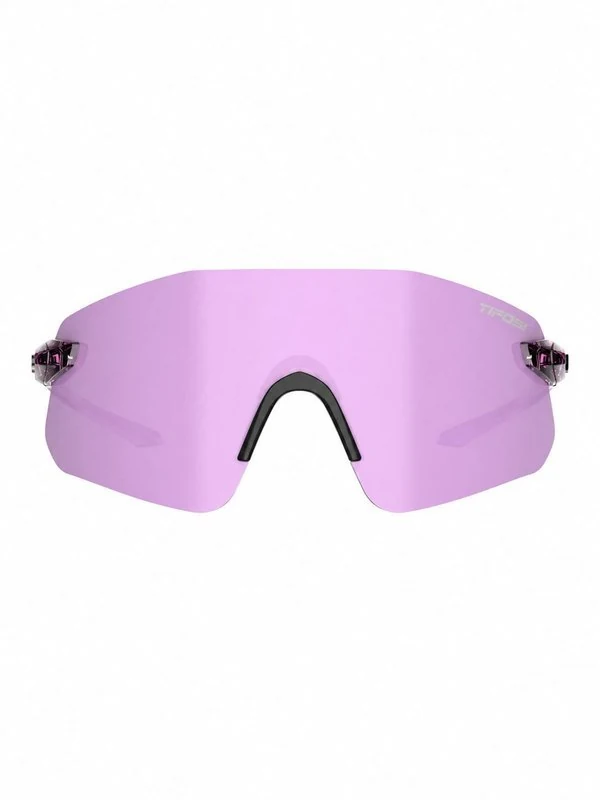
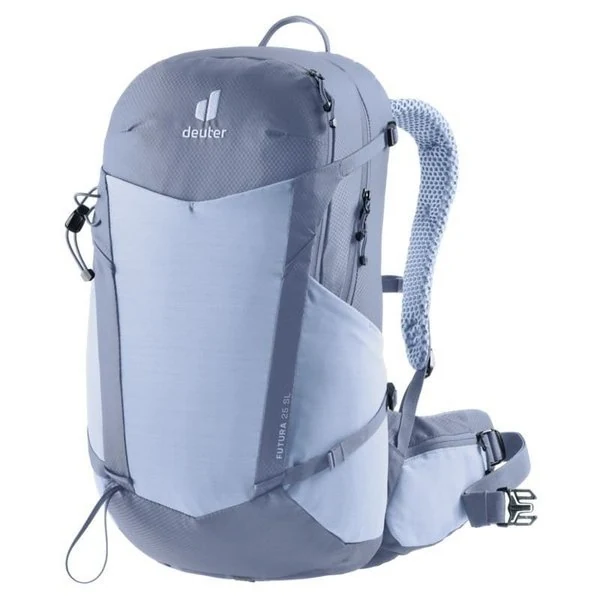
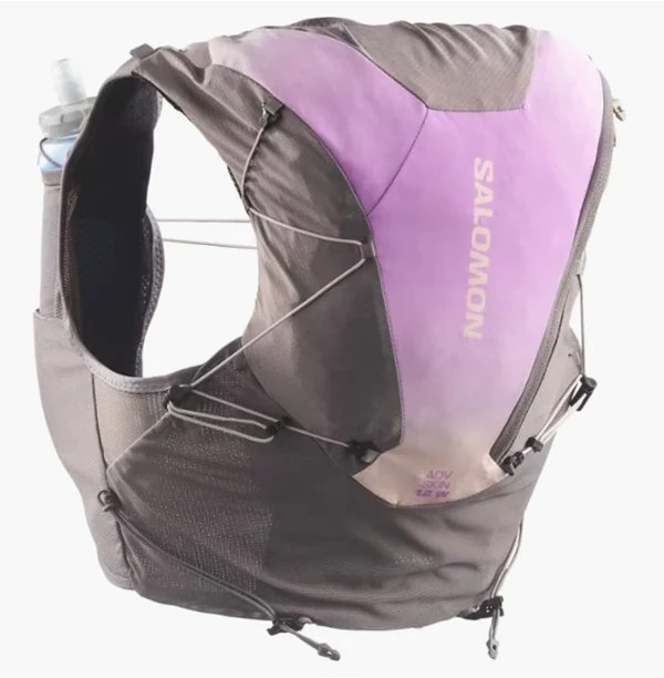
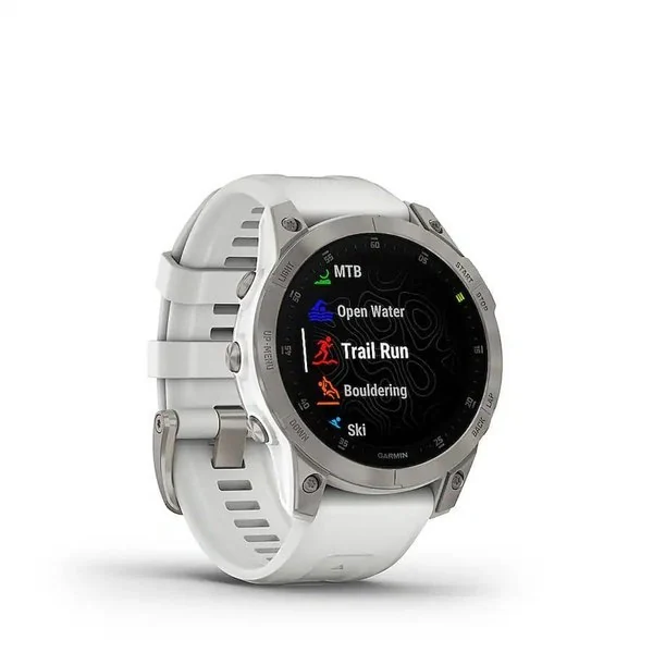

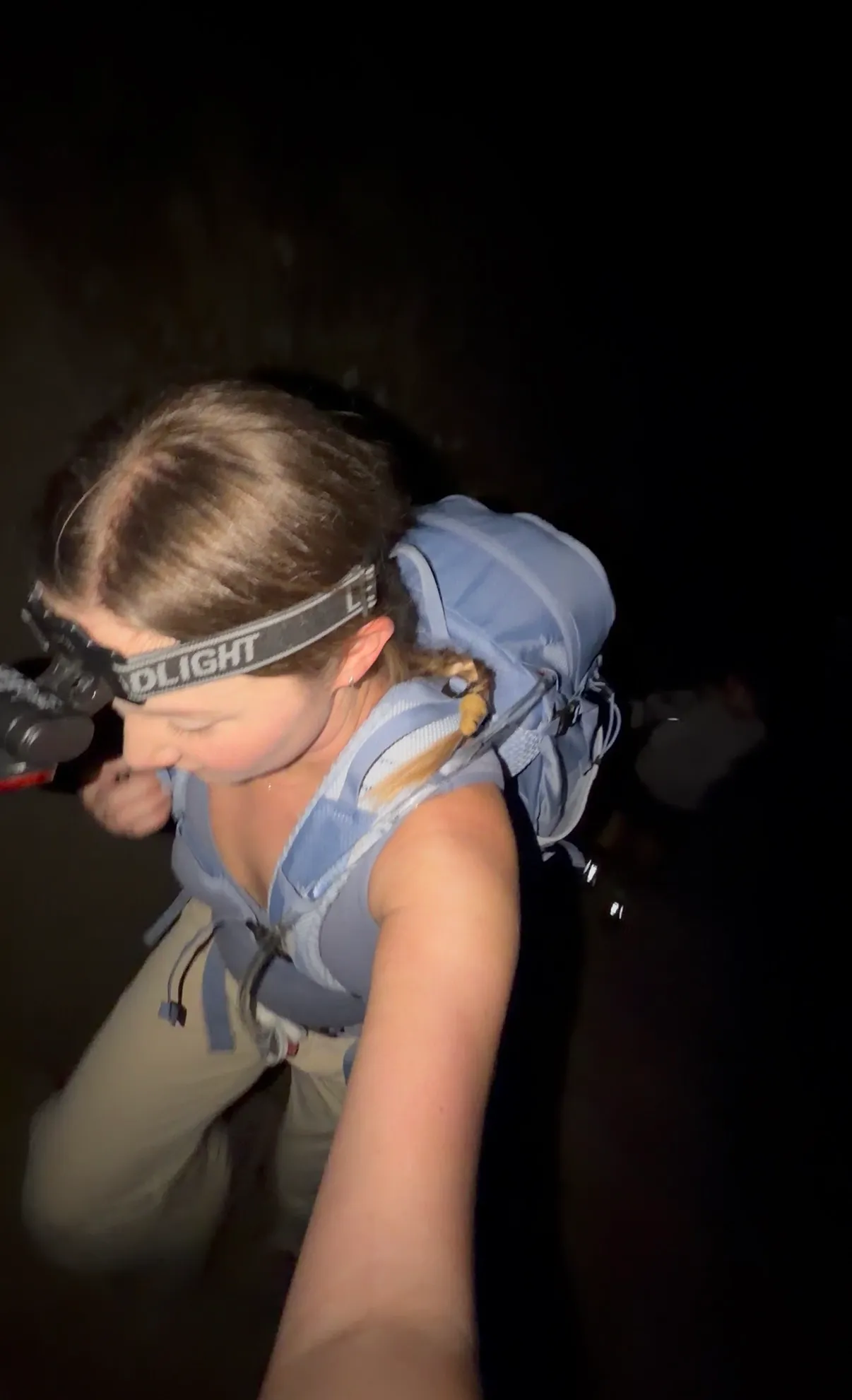
We started around 5:30 AM, and it was pitch black. Even the parking lot was so dark that I could mostly just see the little floating lights of other hikers' headlamps. We saw about three people who had just started their hike, so we weren't completely alone. You'll need a headlamp for this early start. Don't forget it, and make sure it's charged or has fresh batteries before you go.
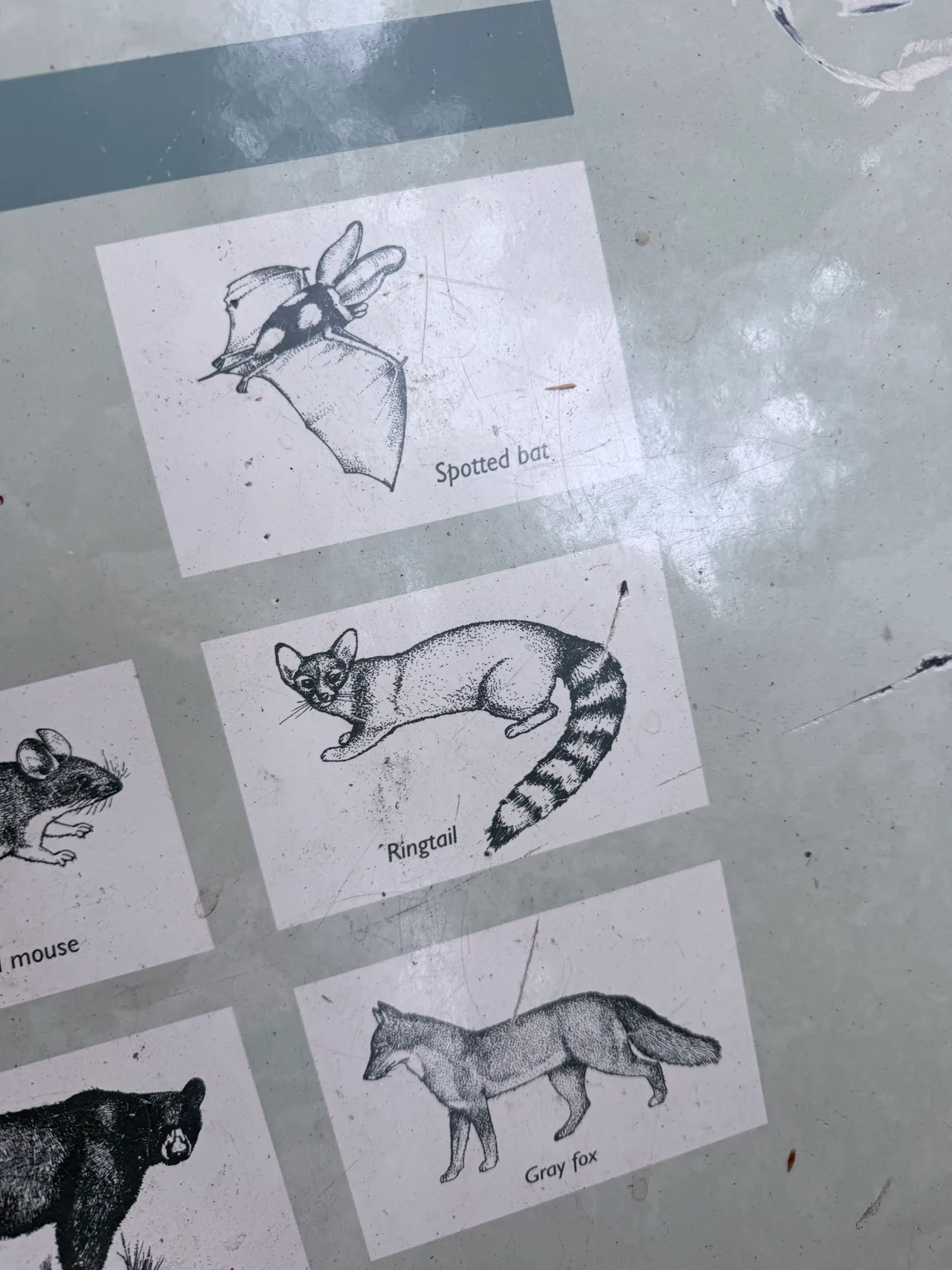
Almost as soon as we started hiking, we spotted three pairs of eyes looking down at us from the woods above the trail. Our headlamps caught their eyes, and for a second I thought, Oh my gosh, is that a mountain lion? Once I could make out their shapes, they looked more like ringtails or maybe a raccoon family. I couldn't tell for sure in the dark, but it was a little freaky at first and then kind of cool.
We headed up the Mist Trail, but it was so dark that I could barely see beyond the stairs in my headlamp. I don't remember every detail of those early morning miles. We were mostly just pushing through and getting into the hike.
One surprise was how many bathrooms there were along the route. I remember thinking it felt like about five stops, although I wasn't counting. They were spread out, and the ones I used were super clean. That was a nice surprise on a long hiking day.
For planning, NPS lists restrooms at the Vernal Fall Footbridge, near Emerald Pool, near the top of Nevada Fall, and in Little Yosemite Valley.
As the day warmed up, the sun became much more noticeable. We stopped to refill water at the Merced River and kept making our way toward Sub Dome.
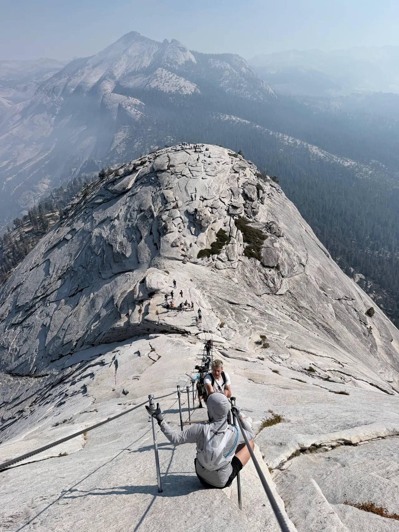
After finishing Sub Dome, we got that first proper look at the cables. This was the moment when the hike suddenly felt a lot more intimidating to me. Looking up from the bottom, I wasn't completely sure I was going to do it.
A lot of people had decided to stop at the base rather than go up. We talked to a couple of people who said the height and the sheer number of people on the cables had spooked them. Some looked really strong and fit, but they were sitting there waiting for their friends to finish. Seeing that made it feel okay to pause and decide for myself.
Before getting on the cables, I took off my backpack and switched to my hydration vest. I was worried about having too much weight on my back for the climb and descent. In retrospect, I probably would have been fine with the backpack, but I did like feeling lighter up there.
Leaving my backpack at the base was a gamble. There were signs telling people to bring their bags rather than leave them, and the squirrels around there have been known to chew through unattended packs. There were so many people at the base when we went, though, and they were shooing the squirrels away, so I felt like my bag would be okay. It was still there when I came back down. If the base hadn't been so busy, I would have taken it up with me.
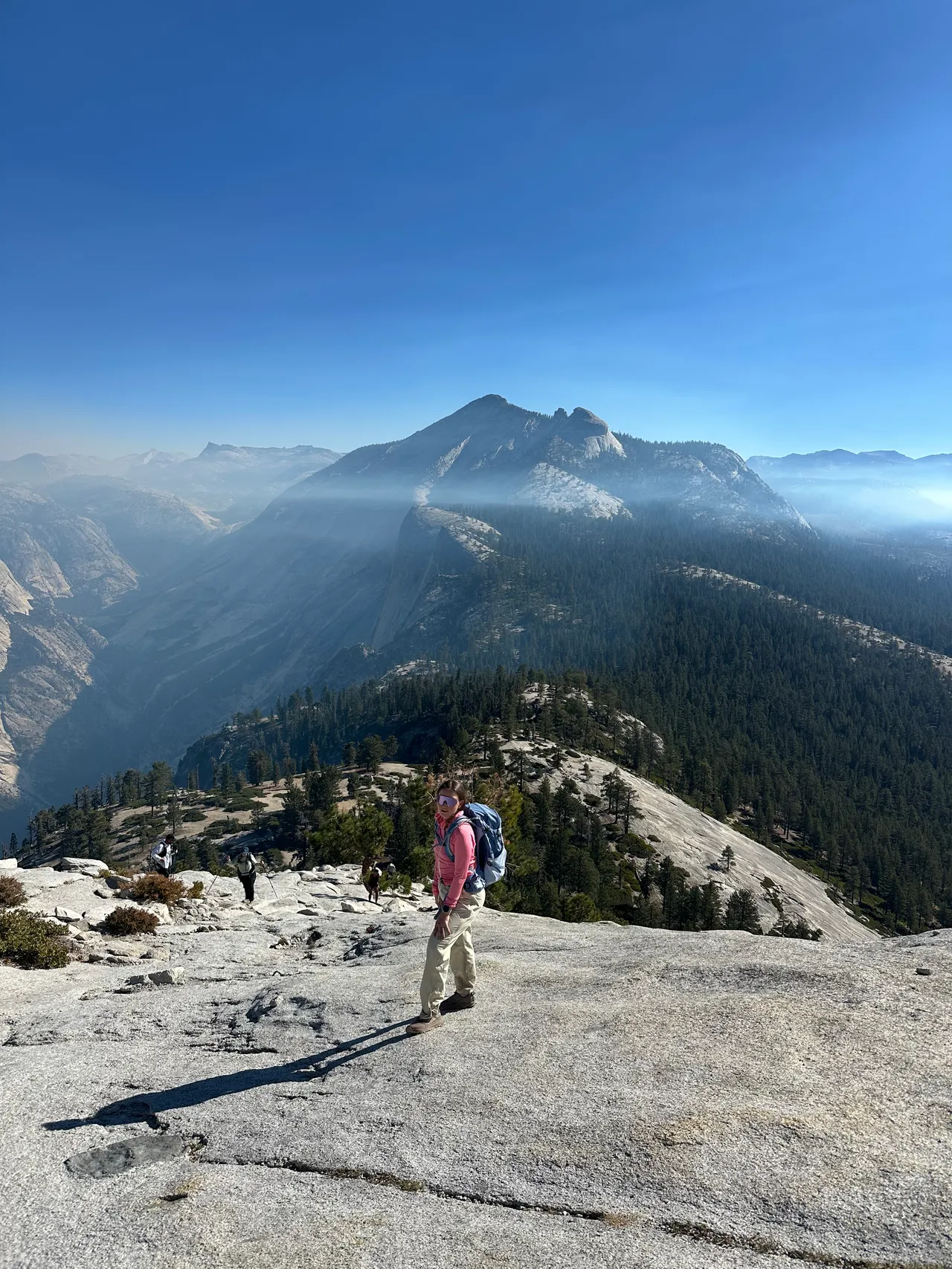
I almost psyched myself out before even starting. The cables looked so steep from below, and I got that pit-in-your-stomach feeling of, I don't know if I can do this.
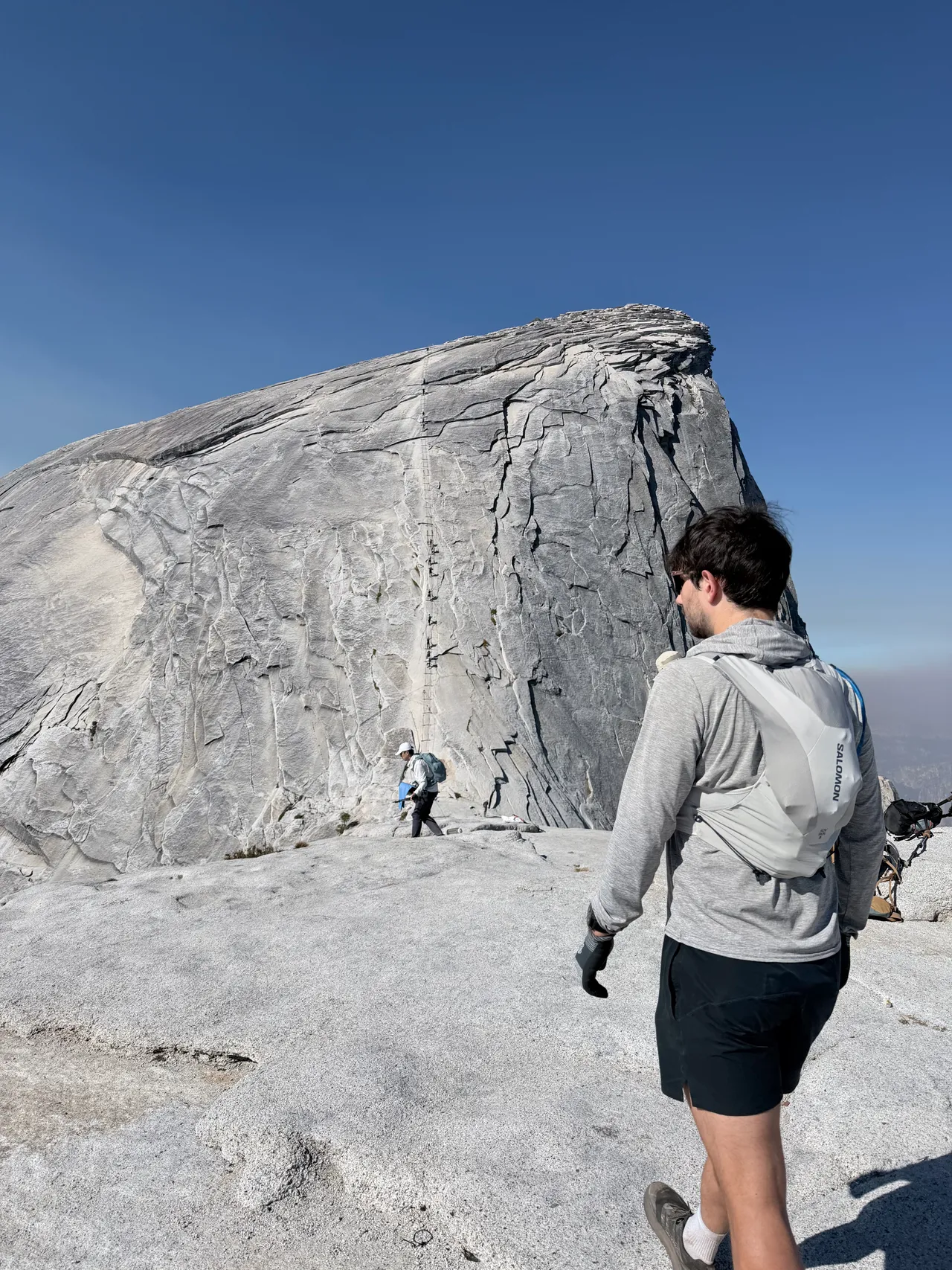
Then I looked around and saw all these people who were excited and amped up to go. Their energy helped me feel a little more motivated. Once I actually got onto the cables, it felt much more manageable to me than it had looked from the bottom. That was my experience on dry rock; it doesn't take away the exposure or the need to make your own decision about continuing.
Going up wasn't that bad for me. There were fewer people on the cables during our ascent than on the way down, so we weren't doing as much waiting. It took us about 30 minutes to reach the top. It went by surprisingly quickly and felt a little surreal.
After miles of hiking, it was actually nice to use my upper body. My legs were a little fatigued, but my arms felt fresh, and being able to use them on the cables felt like a change of pace. I noticed it in my back and lats the next day—muscles that hadn't been doing most of the work earlier in the hike.
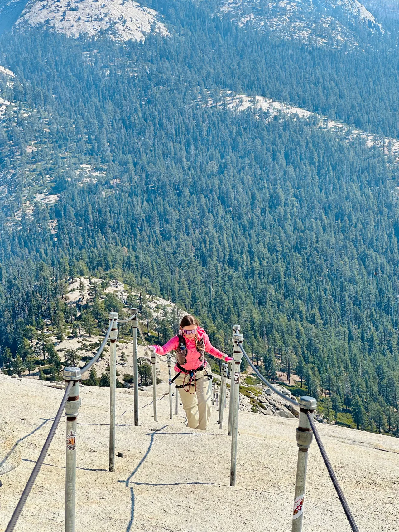
Coming down felt more crowded because we had to wait for other people. The cable descent took us about 25 minutes. I felt more comfortable facing the rock and descending backward, and I was very glad for the grip on my gloves.
The waiting was the part that made things uncomfortable. Some people got impatient and went outside the cables to pass. We saw one person slip a little while doing that and then get right back inside. Watching it happen was unsettling, and it really didn't seem worth trying to save a few minutes.
Stay inside the cables and be patient. That's also part of NPS's cable guidance.
For me, looking at the cables was more intimidating than climbing them. Having fewer people on the ascent and dry granite made a big difference. Going down with more people felt very different, even on the same day.
The weather matters here. NPS advises against ascending when the rock is wet or storm clouds are nearby. A promising forecast weeks before a trip isn't enough; check conditions again close to your hike and on the day.
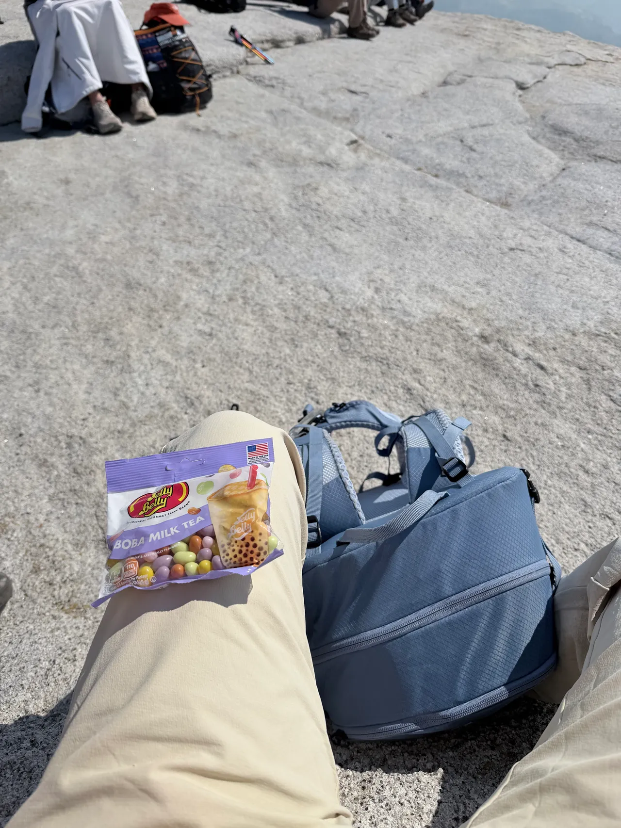
We reached the top around 10:20 AM and stayed for about 25 minutes before heading back down. Being on top of Half Dome felt surreal. The Dome Fire smoke made the views hazy, but it was still beautiful to look out across Yosemite Valley from that high up. I could even make out the area where we'd parked that morning, which felt kind of crazy after the long hike to get there.
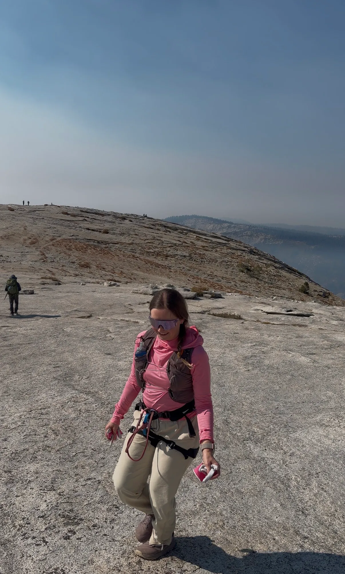
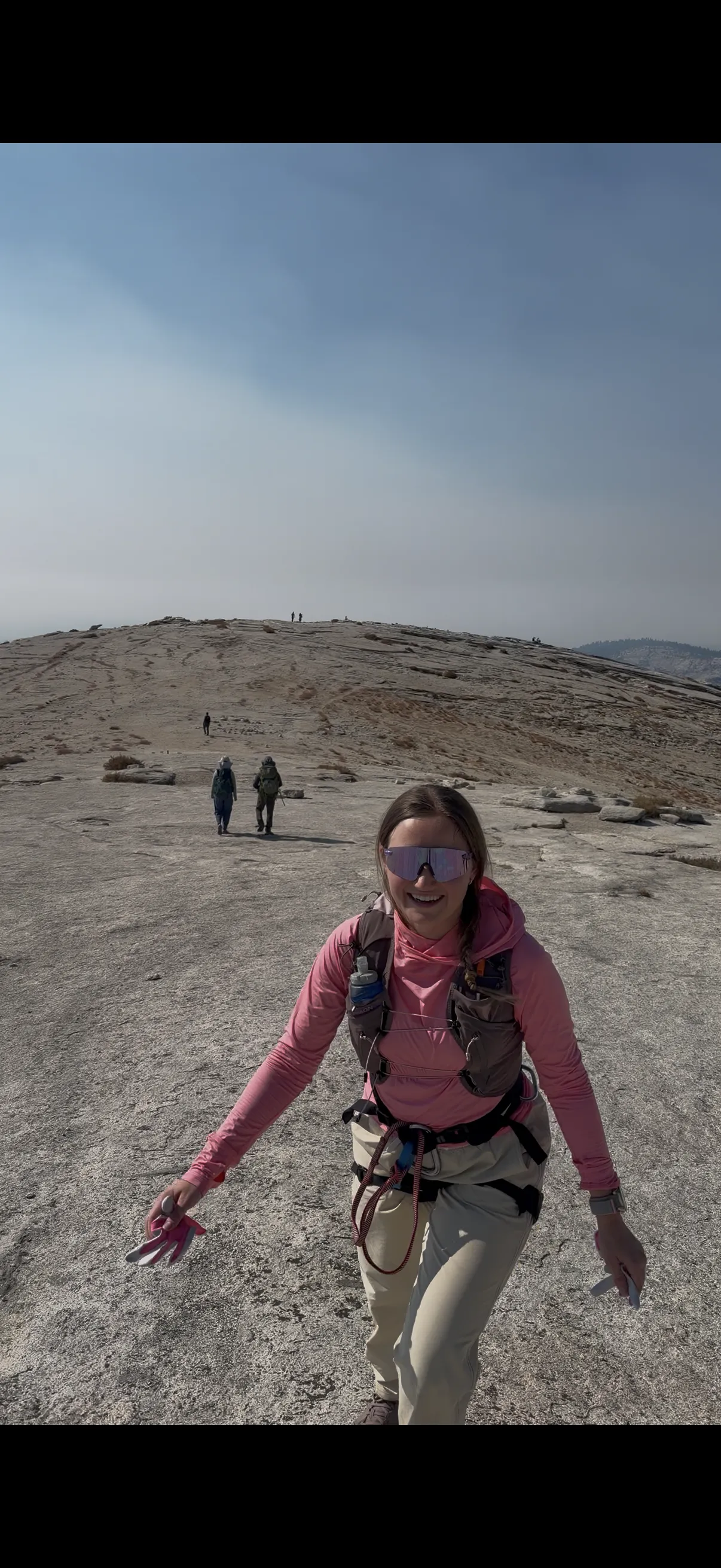
The summit was so much bigger than I expected. After the narrow cables, suddenly there was this huge stretch of granite with room to wander and spread out—several basketball courts' worth, at least. I loved having space to take it all in.
I saw the Visor, the classic photo spot that juts out over the valley, and the small cave and spot called King's Chair beneath it. I stayed back from both; I was a little too nervous about the exposure. Listening to the story of the 1985 lightning strike made that cave especially sobering: five hikers sheltered in the summit cave during the storm; two died and three were injured. A cave or overhang on the summit isn't safe shelter in a storm; Yosemite advises staying away from peaks and caves when storms develop.
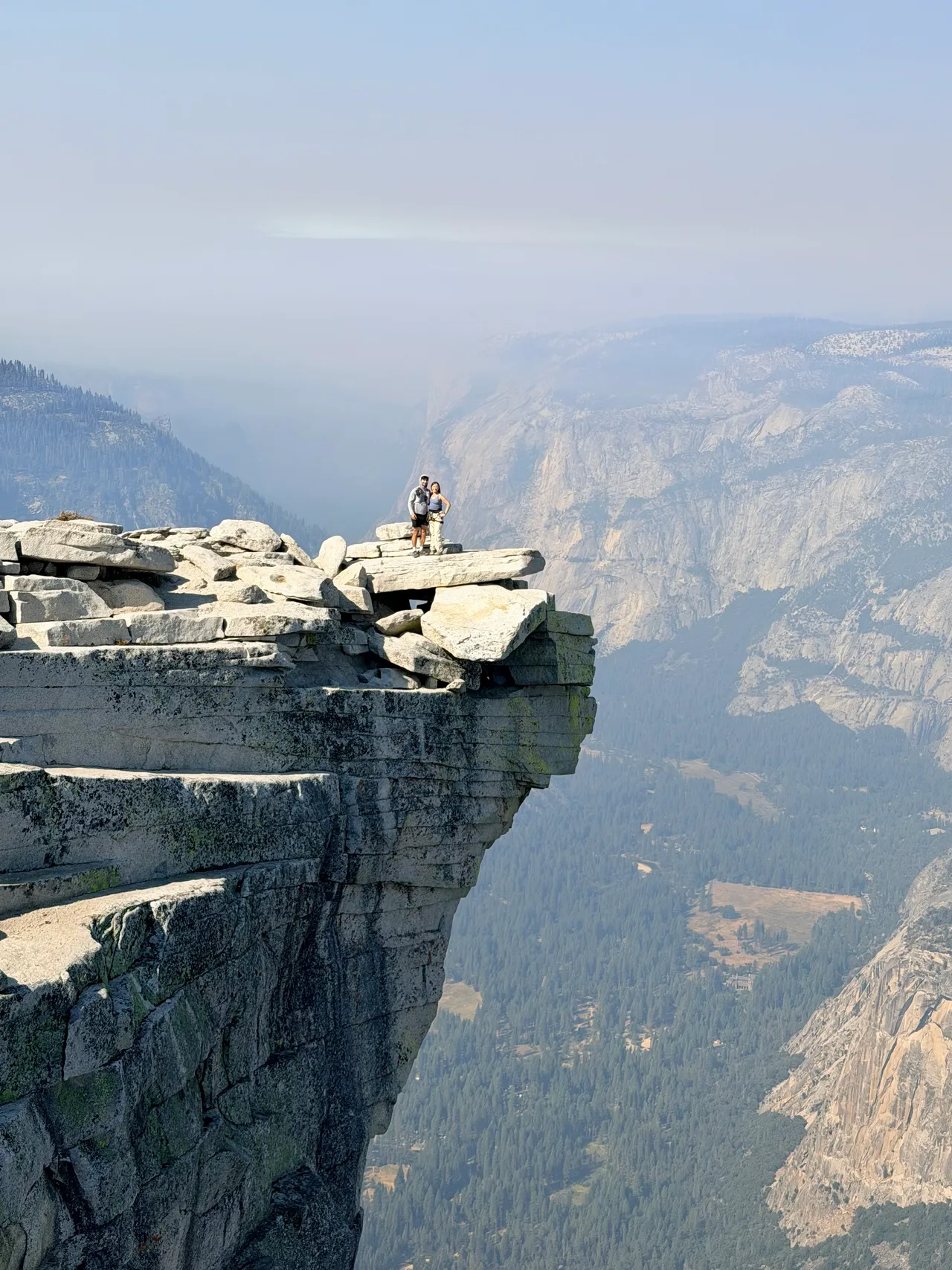
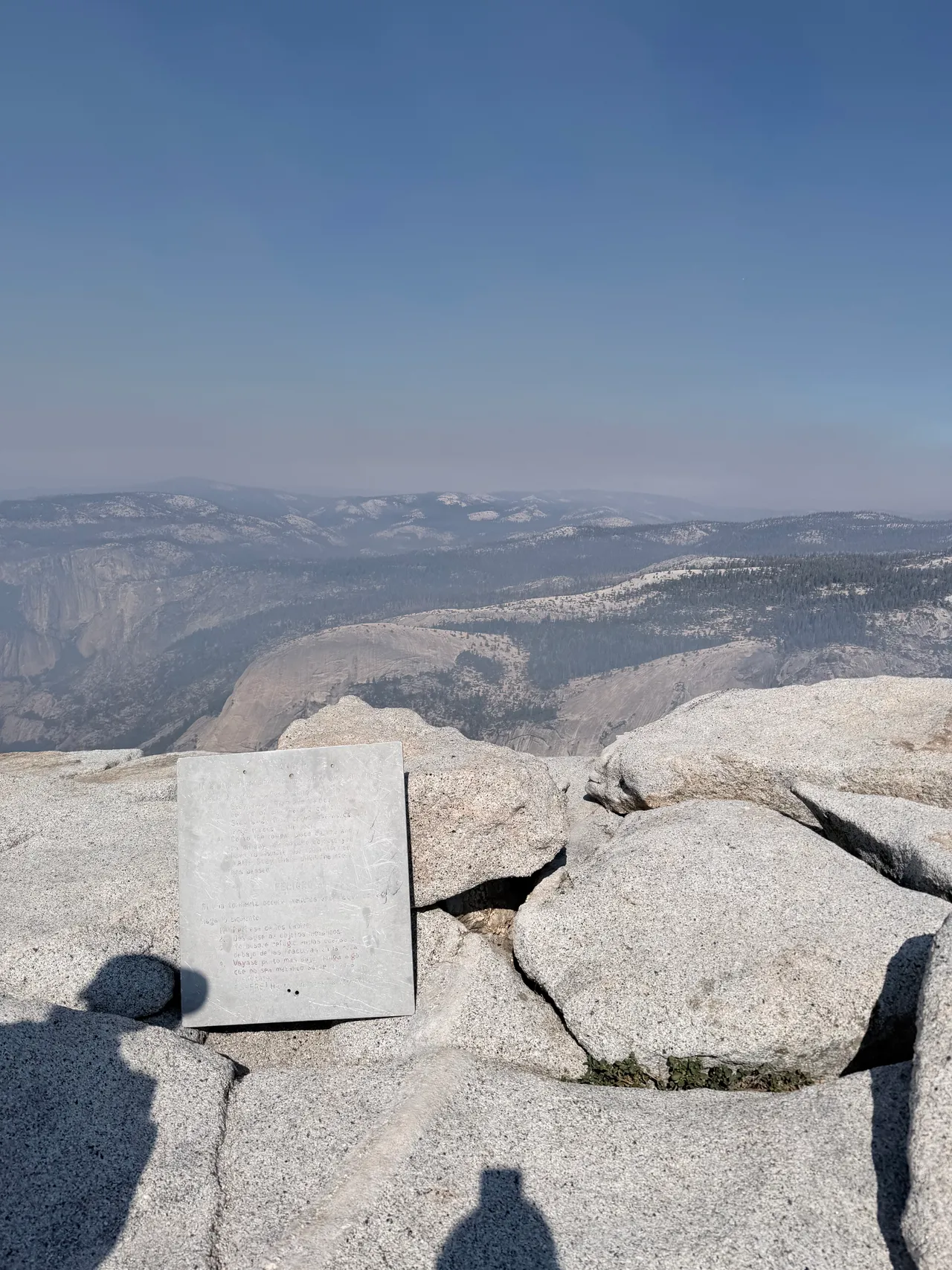
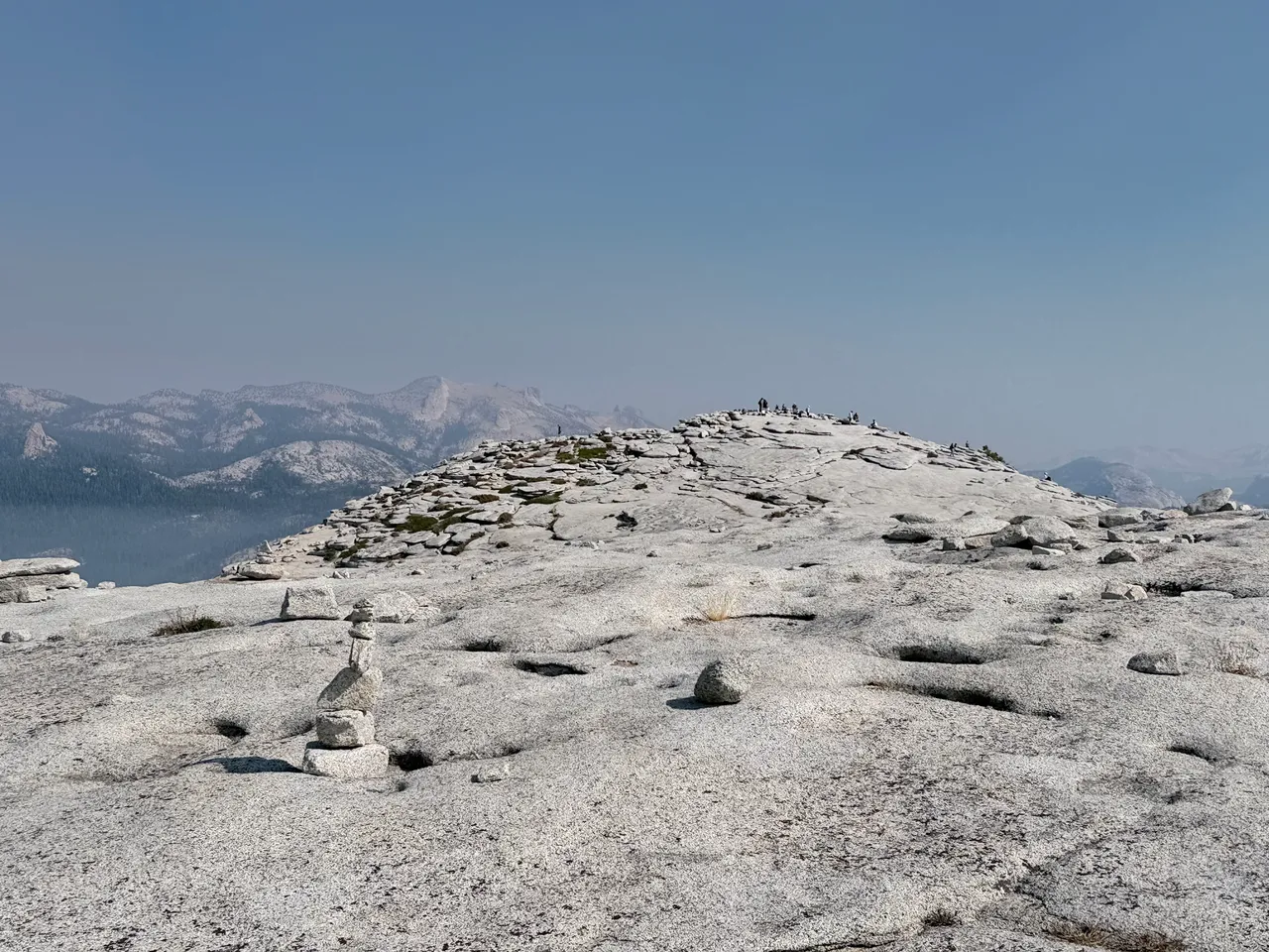
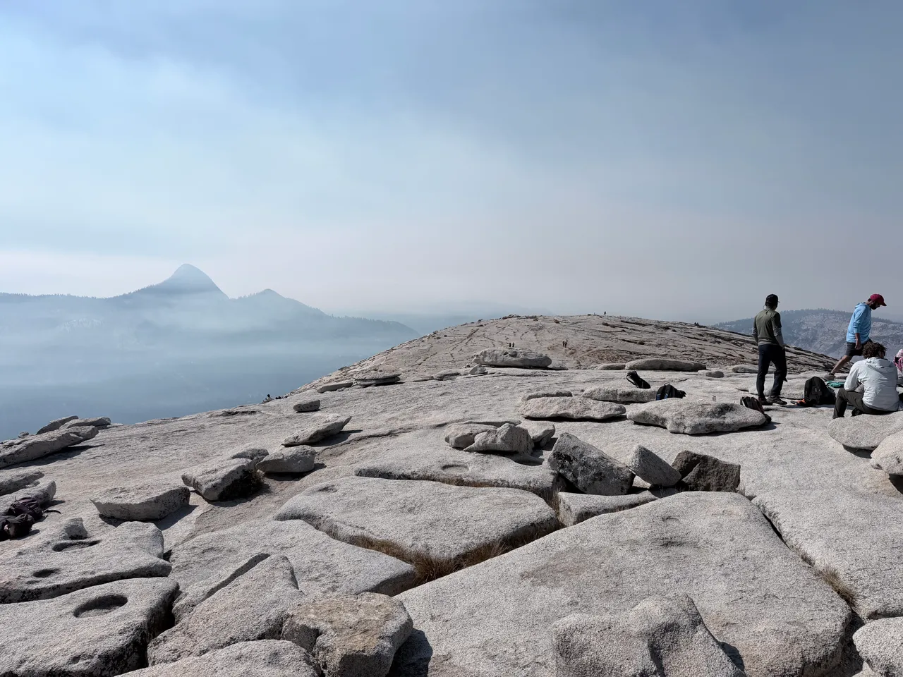
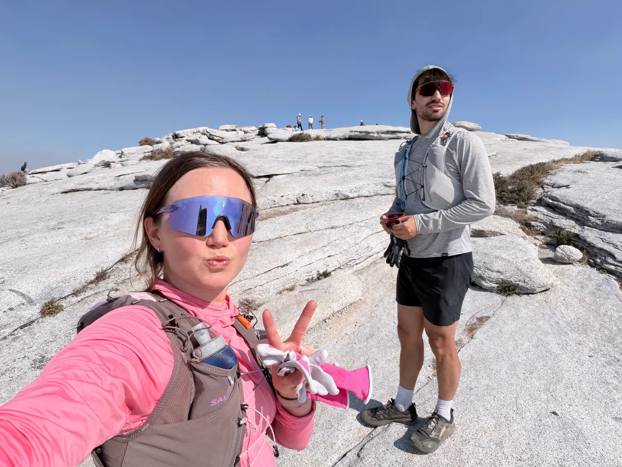
I felt lucky that we had a dry September day. I'd been watching the weather for about two weeks, and it hadn't rained during that stretch, so the granite was about as dry as it could get for our hike. That's an important condition for the cables: NPS warns against climbing when the rock is wet or storm clouds are nearby and says nearly all fatal falls from the cables have happened when the rock was wet. The dry granite helped me feel more secure, even with the smoky views.
After descending the cables, we still had the hike back. We refilled at the Merced River again, and by this point it was hot. Even the Mist Trail had exposed stretches where I was glad to have sun protection.
We took the Mist Trail on the way up and the way down, though a lot of people chose the John Muir Trail for the descent. I was glad we came back the same way. In the dark that morning, we couldn't see the waterfalls, the views, or how steep the drop-offs were. All I could really see were the stairs. Coming down in daylight, I finally got to take it all in, and I kept thinking, Holy crap, I climbed all of this in the dark.
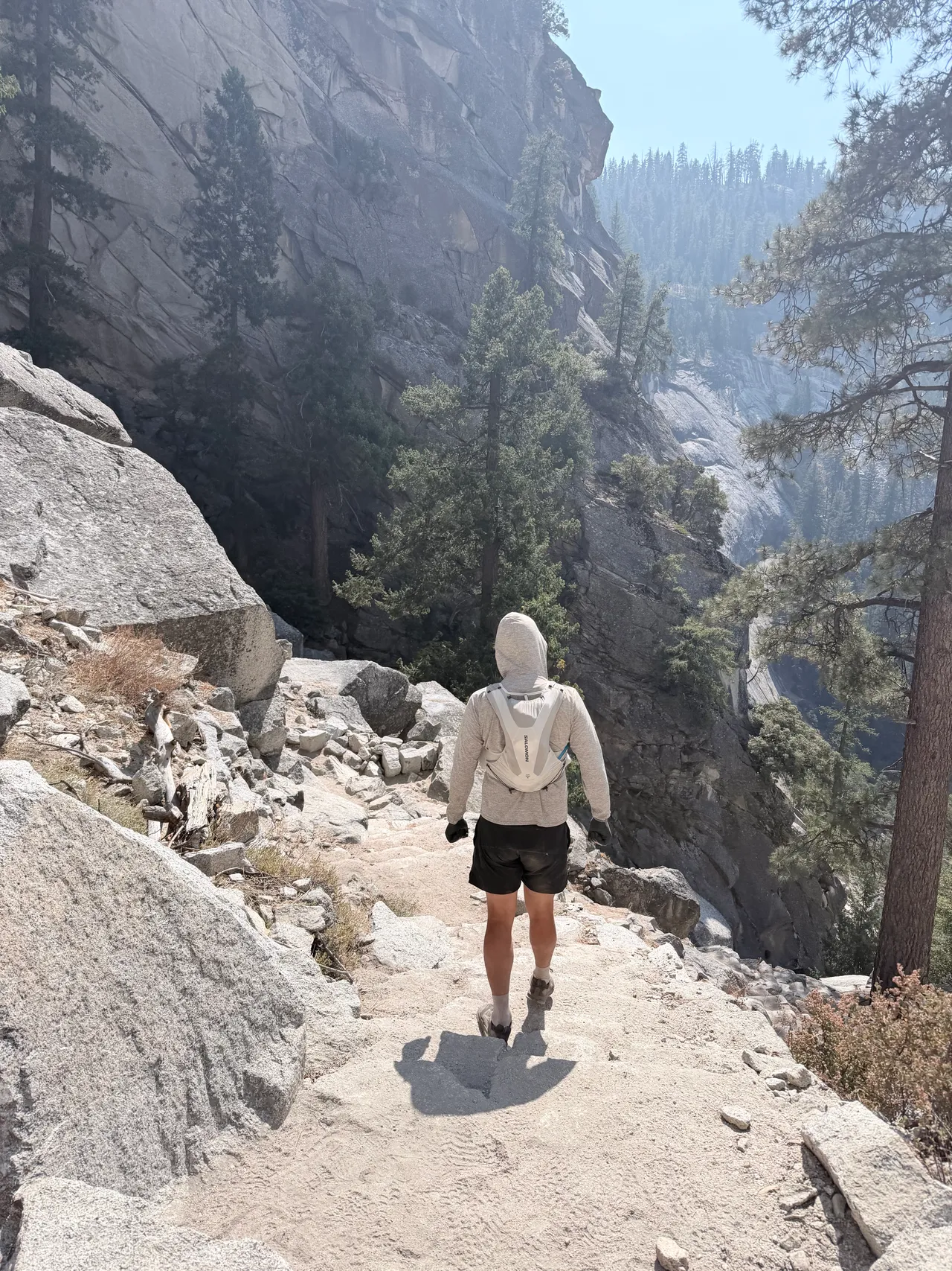
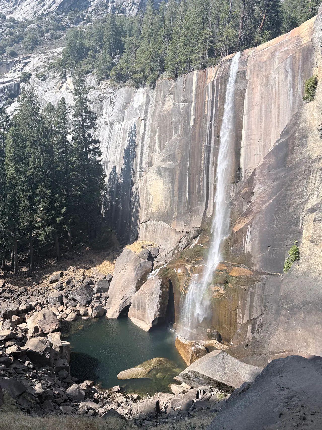
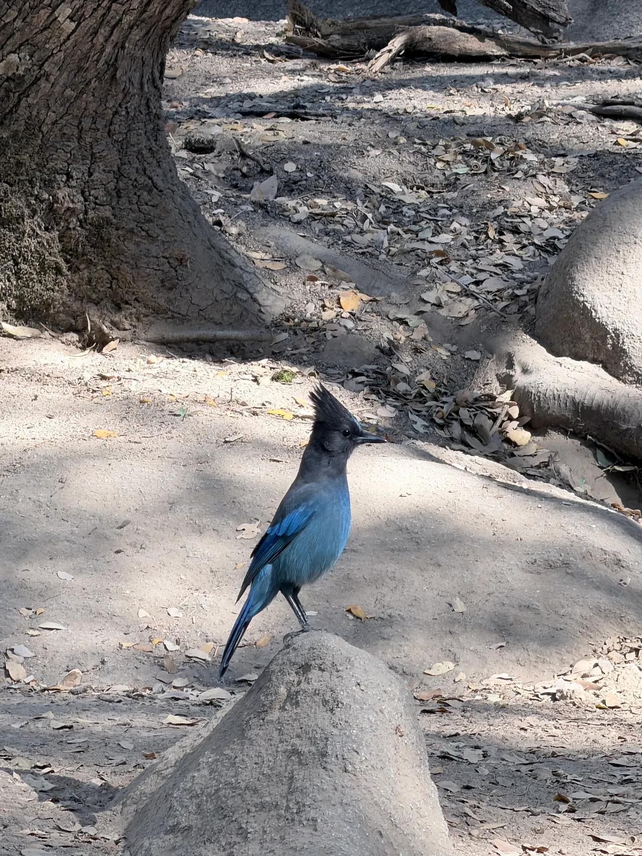
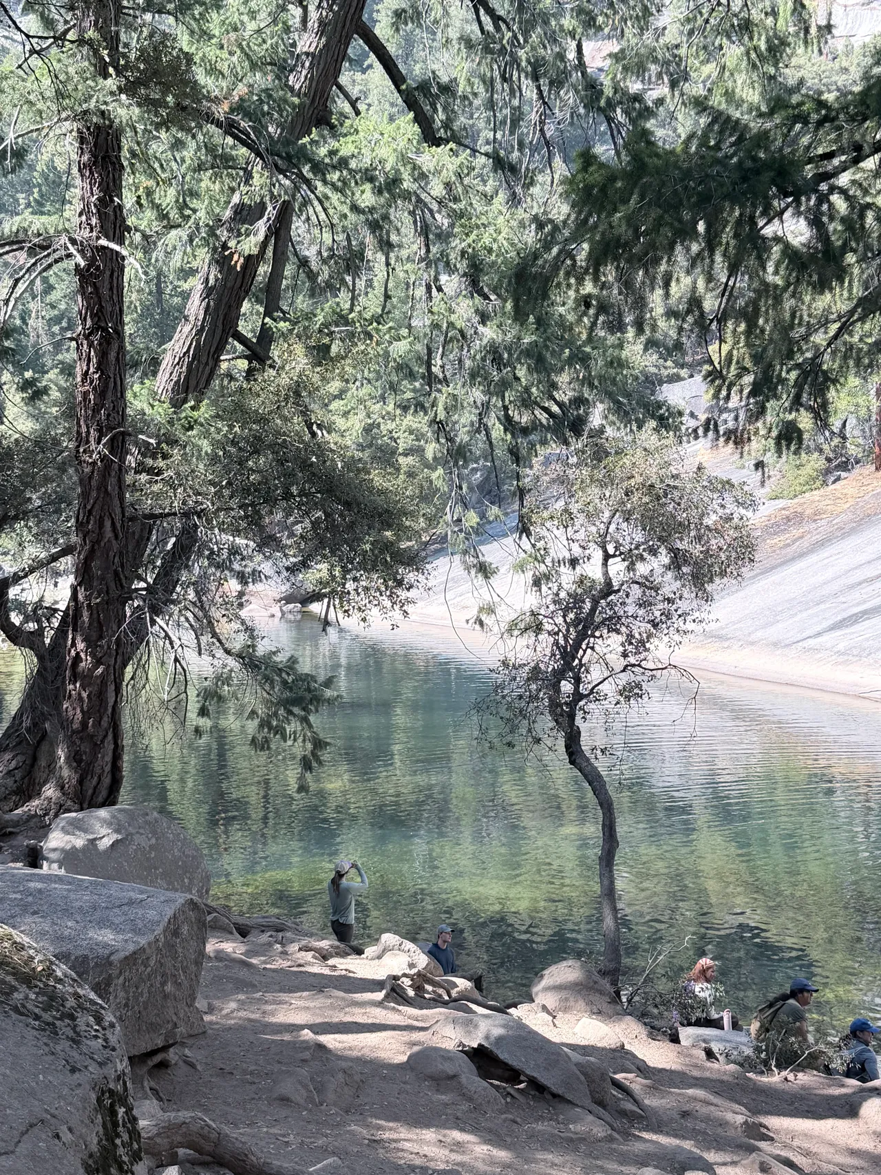
We got back to the car at the Happy Isles parking lot around 4:17 PM. Our legs actually felt fine, but we were getting sleepy and wished we had a hammock so we could take a nap. We were also so hungry, especially since we didn't have a stove with us to make a meal.
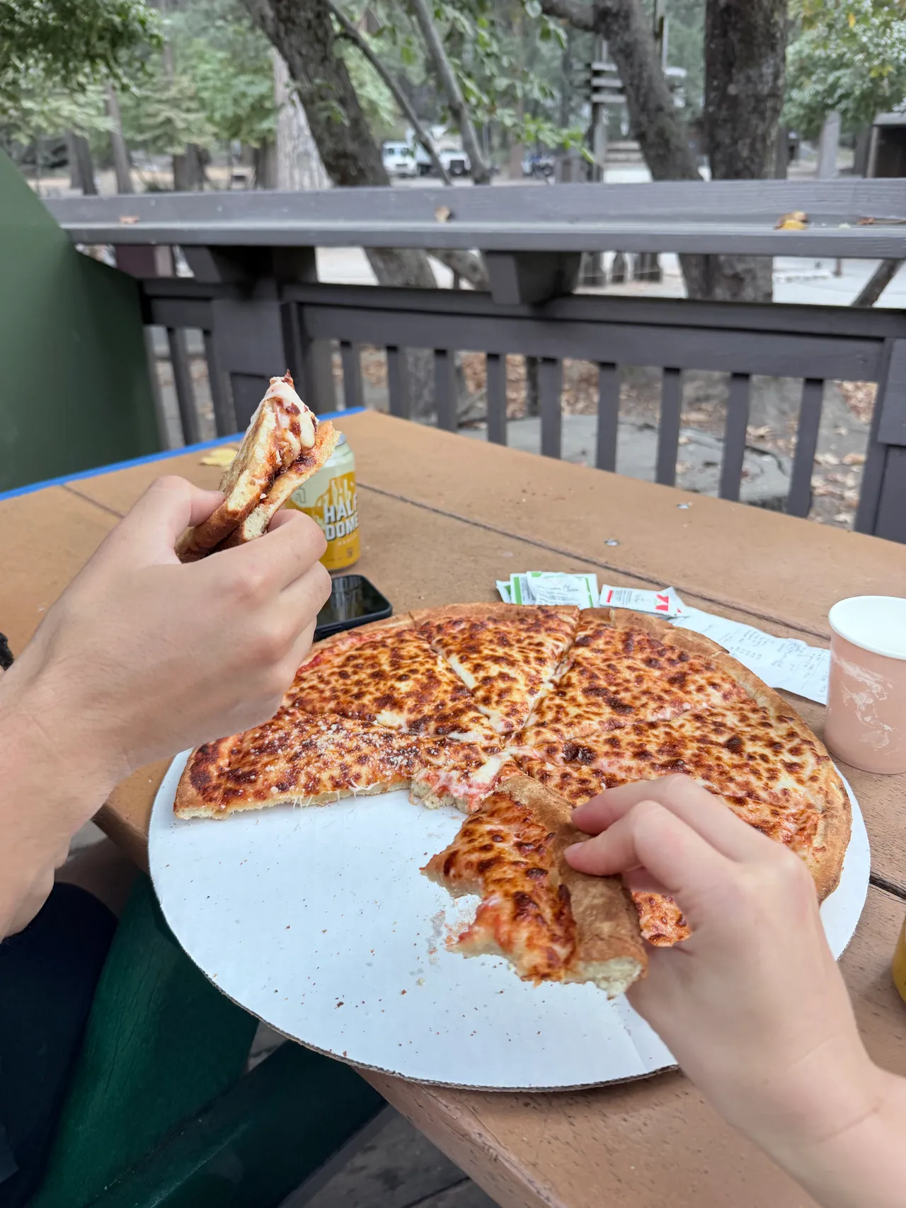
Post-hike pizza at Curry Village. Once we finished, we drove about three minutes from the Happy Isles trailhead parking lot to the Curry Village parking area and went to the Pizza Deck. It was packed, and I was so tired that I put my head down on the table for a bit just to rest.
We ordered a classic pizza to keep the cost down, though even that felt expensive. Honestly, we were desperate for something to eat. The pizza was fine, but after that hike it really hit the spot. I could feel myself coming back to life as we ate. We didn't end up drinking the beer—we weren't into it and gave it away—then headed back to the hotel to shower and lie down.
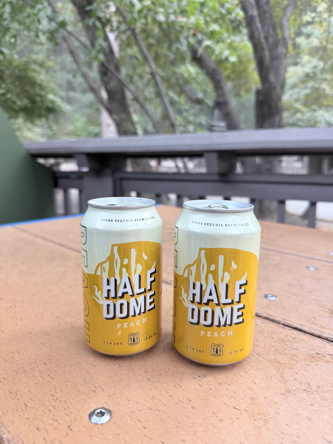
Compared with other big hikes I've done, Half Dome didn't feel as physically hard as I expected. The mental buildup before the cables stood out more to me than the effort of the climb itself.
These are my recorded stats from Garmin Connect, using my Epix Gen 2. Our day was almost 11 hours from start to finish, even though Garmin counted about 6 hours and 19 minutes as moving time. Use the elapsed time when thinking about how much of the day this took us; moving time leaves out the time Garmin counted as stationary.
I recorded this hike with Garmin, so the map below follows our actual GPS track rather than an AllTrails route.
3D map will load as you scroll here…